Sri Lanka is NOT the Ganges
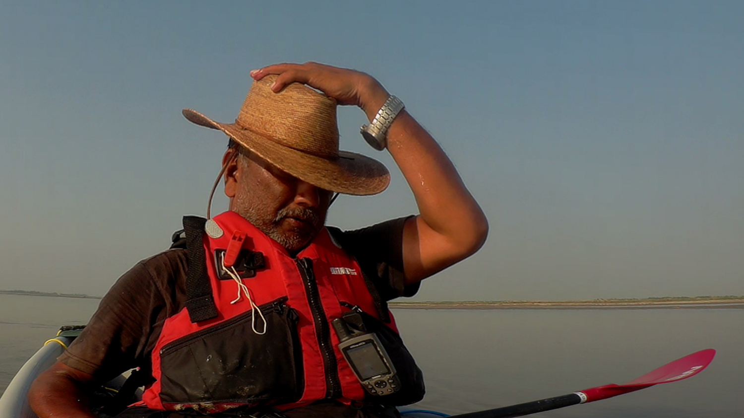
This is a fact. The paddle around Sri Lanka is unlikely to be anything like the one I experienced while canoeing the Ganges a little over a year ago. For one, the Ganges is a river. And largely devoid of any water of any consequence, no current at all except a very gentle one that would have eventually taken me to Calcutta even if I did not paddle a single stroke. Shore was a bit more than an arm’s distance away. There were people and villages and ghats and habitation pretty much all the way. Of course there were challenges, but they pale in comparison when one layers that experience with the one that is coming up a little over a month later.
A Slow Boat Around Sri Lanka is a challenging paddle out in the open sea. We are starting the journey and hopefully ending it before the southwest monsoon hits the island in all its fury. I do expect to encounter some pre-monsoon showers and that might put the plans a little out of whack … I am not about to hit the water with dark angry clouds reaching out to me, daring me to take on the impending elements. The sea is new to me and I will not take on anything more than what I believe is well within my limited capabilities.
I am a little concerned with the tides, not so much the waves. There is high tide and low tide, twice a day, every day. And the timing changes every day. We will need to launch at low tide, when the water is going out from land, away into the sea. This will provide some current to take us out to sea, without us having to fight against it. Similarly, I would like to head back to shore at high tide, again due to the help the current will provide. I have faced paddling against the tide during the last stage down the Ganges, and it was no fun at all. Almost no progress was made and my shoulders almost fell out their sockets in an effort to even remain at the same place. No, I am not looking forward to paddling against the current.
However, due to the changing timings of the tides, the time of our launch each day will keep changing. Let us look at the tide timings for tomorrow morning, for instance. Low tide is at 10.02 am while high tide is at 16.15 pm. This is good since we can launch at 10.02 am, even an hour or so prior when there is slack water, and come back to shore by sunset. A week later however, low tide is at 05.16 am and high tide at 08.46 am and again at 23.58 pm. Which means we cast off before dawn and then get back to shore either around nine in the morning or way after dark, close to midnight. Not a good day to plan a paddle out into the ocean. The reality we will be faced with seems to be that we paddle for either six hours a day or twelve hours a day, if we want to make use of the tidal currents. This call has to be taken the evening prior and will depend on the conditions ahead of us. And we need to keep our daily target distance in mind to be able to reach our scheduled destination for the evening.
Like I said, the paddle around Sri Lanka is nothing compared to the paddle down the Ganges.
The other things that will be different will be the wind. Our itinerary corresponds to the couple of months prior to the southwest monsoon. The monsoon season in the subcontinent is a bad time to be out on the water, no fun at all. And it can get dangerous pretty soon with the sea state becoming unnavigable with waves as big as houses. However, the current winds are from the northeast, corresponding with the winter monsoon season. Hopefully for the first few weeks we will not be faced with winds so much as it changes from the northeast to the southwest. But I doubt if we will be lucky all the way. By the time half the circumnavigation is over, and we are paddling the eastern coast, the southwest winds will become stronger. If we are not careful with our navigation, there is a possibility we will land up somewhere in Indonesia! Once we round the southern tip of the island, the southwest monsoon will come in handy when we will have a following wind, pushing us towards our end point at Colombo. That will be a blessing when the tired arms and even more tired mind will rebel against every additional stroke that has to fight the elements.
I am busy learning blue water navigation, and reading nautical charts. The chart I am using is by Navionics and is one of the most used and most trusted by ocean going vessels in the world. It is extremely informative and provides a whole bunch of data. The trick is to be able to read the data properly and to take actions based on what the data is trying to convey. Unfortunately, this chart does not work on Garmin devices, the GPS system I will be using. This will work off my Android phone. Fortunately, this works on GPS and will work even if I am outside mobile phone coverage area. There will be definite drain on the battery and I will need to prepare for this by carrying extra power banks.
One thing I am fairly sure of though is that I will not leave sight of shore. We will be paddling between three and five kilometres out into the sea, far enough to not get affected by tides and surf and such like, yet close enough to be able to see the coastline. I am not yet ready or adept at going beyond this comfort zone. Whether this fact will change as the expedition progresses, I have no way of knowing. Only time will tell.
As of writing this, the expedition is 51 days away. On the one hand I cannot wait for the days to fly by. Yet, on the other hand I want the days to go by as slowly as possible since there are so many things that still have to be tied up. I am sure everything will work out just fine and we will have a wonderful and successful expedition, even though it is going to be very different and way more challenging than the paddle down the Ganges.
Wish us luck.
#slowboatsrilanka
#otasurvivalschool
#chandanlahiri
#srilanka
![]()


I heartily agree, this is a severe undertaking.
.